Historic Aerials has always been built around a simple idea: historical aerial imagery should be easy to explore, searchable, and available to everyone. From the beginning, we’ve worked hard to offer a free version of the site so students, historians, planners, and the public can explore decades of aerial history without a paywall. But as ad blocker usage has grown, keeping this free experience sustainable required us to make a change.
Starting the week of December 22, 2025, some users may have noticed a message appearing in our aerial viewer indicating that imagery is unavailable unless ads are enabled or a subscription is in place.
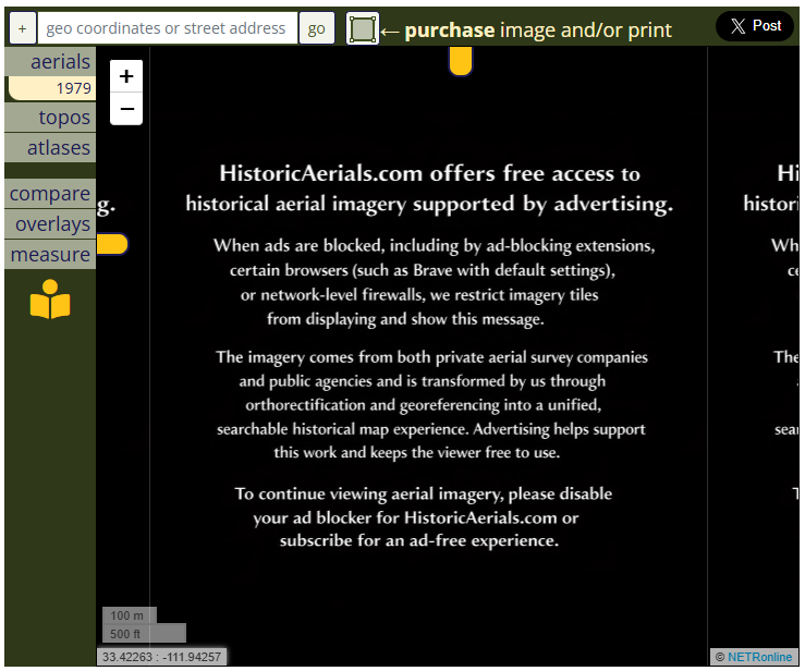
If you’re seeing this, nothing is broken. This change only affects users whose browsers, extensions, or networks are blocking ads.
We didn’t make this decision lightly.
Why we made this change
Behind the scenes, operating HistoricAerials.com involves far more than hosting image files. We acquire imagery from both private aerial survey companies and public agencies, digitize and preserve fragile historical materials, and transform raw aerial photographs through orthorectification and georeferencing into a unified, searchable historical map experience. We then host and serve billions of imagery tiles through a high-availability infrastructure so the site remains fast and reliable. The costs of maintaining digital archives at scale are substantial and growing.
Advertising has long been what allows us to offer this experience for free. When ads are blocked (whether intentionally or by default browser or network settings) that support disappears. At a certain scale, continuing to serve free imagery without that support simply isn’t sustainable.
That’s the point we reached.
What the ad blocker notice means for you
Again, this only applies to free users with an adblocker extension installed on their browser. If ads are allowed, nothing changes, you can continue to explore imagery freely as you always have.
We know this adds a small amount of friction, especially when you want to preview imagery before purchasing. That tradeoff wasn’t lost on us. But it’s what allows us to keep HistoricAerials.com available to everyone, rather than moving entirely behind a paywall.
If you prefer not to see ads or prominent watermarks, an ad-free subscription directly supports the preservation, processing, and long-term availability of this historical archive. (Not to mention a larger image Viewer that can even be expanded to full-screen view!)
You’re keeping history alive
Whether you support the site by allowing ads or by subscribing, you’re helping preserve an irreplaceable visual record of our shared landscape and history.
We’re grateful you’re here.
More From the Editor
-

Public Domain Day 2026
Why 1930 Sanborn Maps are in now in the public domain…and how the rules actually work Every January 1, a quiet but meaningful shift occurs in the historical record. Another year’s worth of creative works (books, photographs, films, sheet music, and maps) cross an invisible legal threshold and become part of the public domain. On…
-
Historic Aerials Ad Blocker Notice: What You Need to Know
Historic Aerials has always been built around a simple idea: historical aerial imagery should be easy to explore, searchable, and available to everyone. From the beginning, we’ve worked hard to offer a free version of the site so students, historians, planners, and the public can explore decades of aerial history without a paywall. But as…
-

Let’s Get To Know Each Other From Arizona With Aerials
Just a little announcement to make: my boxes have been packed and I’m heading west. The headline isn’t the highway, though. It’s the destination: I’m currently on my way to officially join the HistoricAerials team in Arizona. Let me tell you, I couldn’t be more thrilled! While it’s a big personal change, it also feels…