In 1860, if you wanted an aerial photo, you didn’t just need a camera—you needed a flying chemistry lab. The wet plate process required photographers to be part-aeronaut, part-chemist, and part-tightrope walker.
Photographers to coat a glass plate with a sticky chemical emulsion, expose it while still wet, and develop it immediately before the chemistry dried. That window was roughly ten to fifteen minutes. Miss it, and the image was gone.
Now imagine doing all of that in a swaying wicker basket, hundreds of feet above the ground, surrounded by volatile chemicals and open flame.
James Wallace Black managed it in 1860, producing the first aerial photograph of Boston from a hot-air balloon. His image is remarkable—not because wet plates were suited to aerial work, but because Black was stubborn enough to fight their limitations until conditions finally cooperated. Most attempts failed. The chemistry demanded near-perfect stillness, controlled conditions, and the kind of patience that’s hard to maintain when you’re dangling from a gas bag.
That was aerial photography’s original ceiling. And it held for more than a decade.
Richard Leach Maddox and the invention of dry plate photography
Richard Leach Maddox wasn’t trying to revolutionize aerial photography. He was a British physician with weak lungs who found the chemical fumes of wet plate collodion increasingly hard to tolerate. In 1871, looking for a less toxic alternative, he proposed coating glass plates with light-sensitive silver salts suspended in gelatin — a substance that could dry without losing its photographic properties.
The plates could be prepared in advance. Exposed whenever opportunity arose. Developed days or weeks later, in a proper darkroom, under controlled conditions.
Chemistry no longer had to follow the camera into the sky.
Maddox’s early results were inconsistent, and his plates were slower than wet collodion. The real breakthrough came in 1878, when photographer Charles Bennett discovered that heating the gelatin emulsion dramatically increased its sensitivity. That refinement made dry plates commercially viable — fast enough for real use, uniform enough for mass production.
For the first time, photographers could load plates in advance, expose them whenever opportunity arose, and develop them later under controlled conditions. Chemistry no longer dictated where and when a photograph had to be made.
Wet plate vs. dry plate: What the transition meant for aerial photography
The transition from wet plate to dry plate photography represented more than incremental improvement:
| Factor | Wet Plates | Dry Plates |
|---|---|---|
| Preparation time | Coat, sensitize, expose, and develop within ~10–15 minutes | Prepared weeks or months in advance |
| Exposure sensitivity | Very low — long exposures, motion blur common | Much faster by the 1880s; motion blur largely eliminated |
| Portability | Poor — required on-site darkroom, chemicals, water supply | Strong — pre-coated plates shipped in boxes, no darkroom needed |
| Development window | Immediate — while plate was still wet | Flexible — days or weeks later |
| Failure rate in aerial work | High — chemical drying, vibration, and handling all threatened the plate | Much lower — faster exposures, no mid-flight chemistry |
The table makes it look tidy. In practice, the shift was seismic. Aerial photographers who had spent careers fighting their own chemistry could suddenly focus on the image.
Motion was no longer fatal. From a swaying balloon basket or a kite platform, a photographer could now capture a sharp landscape without demanding perfect stillness from the air itself. Multiple exposures became possible during a single ascent — instead of staking everything on one carefully prepared plate, a photographer could work through a stack of pre-loaded dry plates and sort the results on the ground.
The airborne darkroom simply disappeared.
How standardized dry plates transformed aerial reconnaissance
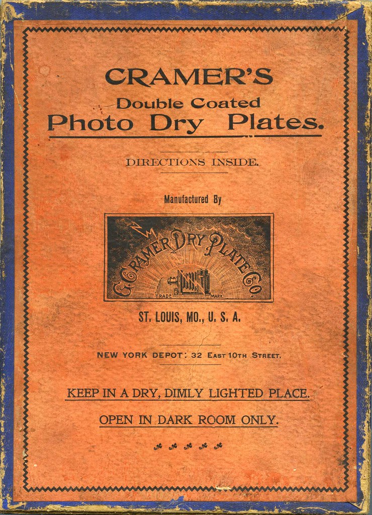
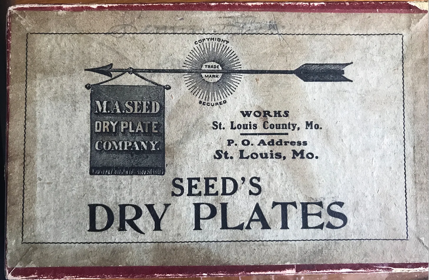
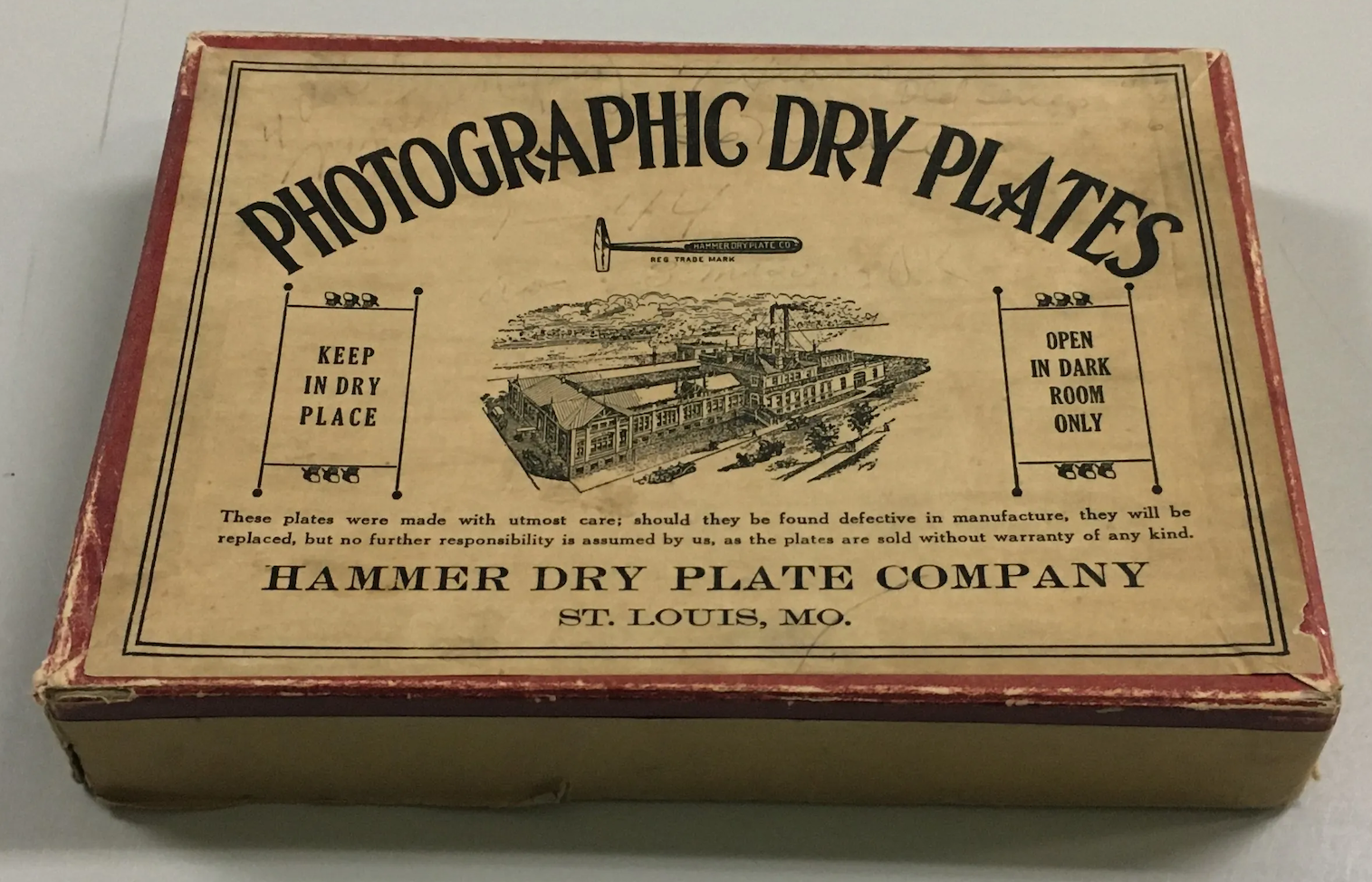
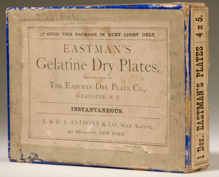
Those vintage boxes from Cramer, Seed, Hammer, and Eastman aren’t just old packaging. They’re the first standardized hardware of aerial reconnaissance.
By the late 1880s, manufacturers in St. Louis and Rochester had turned emulsion chemistry into an off-the-shelf science. Plates were tested, rated, and marketed by sensitivity class. “Extra Rapid” wasn’t advertising copy — for aerial work, it was a specification. The difference between a sharp record of a military fortification and a motion-blurred smear taken from a wind-buffeted balloon.
The logistics shift: separating capture from interpretation
Standardization made something more consequential possible. Because every plate in a box responded to light in exactly the same way, multiple exposures from a single flight could be trusted to behave identically in development. Surveyors could stitch images together into mosaics. Analysts could compare photographs taken days apart. The data became comparable — and comparable data is the foundation of any real intelligence work.
The logistics transformed just as dramatically. A reconnaissance unit no longer needed to transport a laboratory. Fifty boxes of pre-coated plates packed like any other field supply. “Keep in a Dry Place” — the only instruction printed on most boxes — replaced an entire traveling darkroom.
The darkroom itself could stay miles behind the lines. Exposed plates could be rushed to a central facility for development and analysis, separating the act of capture from the act of interpretation for the first time. That separation is the conceptual root of modern remote sensing.
George Eastman grasped this trajectory before most people did. His dry plate operation in Rochester preceded his roll-film revolution, and his early obsession with mass-market consistency meant that a land surveyor in the Rockies and a military observer in a balloon over a contested position were trusting the same emulsion. Reliability, replicated at scale, was the entire product.
When aerial photography became a reliable scientific instrument
Once reliability entered the equation, the camera’s role shifted. Aerial photography stopped being a novelty act — a circus trick performed by daring aeronauts — and became an instrument.
Surveyors could document terrain with consistency. Military observers could photograph fortifications and troop movements repeatedly, not just when conditions allowed a miracle. Archaeologists began noticing from altitude what was invisible at ground level: roads buried under fields, walls dissolved into soil marks, crop patterns betraying the outlines of structures that had been gone for centuries.
None of this transformation belonged to a single inventor. But it had a single precondition: images that were sharp, timely, and reproducible enough to be trusted.
The lasting legacy of dry plate photography in aerial imaging
Roll film, automatic cameras, stabilized mounts, digital sensors — each pushed aerial imaging further. But none of them solved the original problem as cleanly as the dry plate. The fundamental innovation Maddox proposed in 1871 — decoupling image capture from immediate chemical processing — established the logic every subsequent technology would follow.
The camera’s freedom to operate independently of the darkroom started there. Everything else is an iteration.