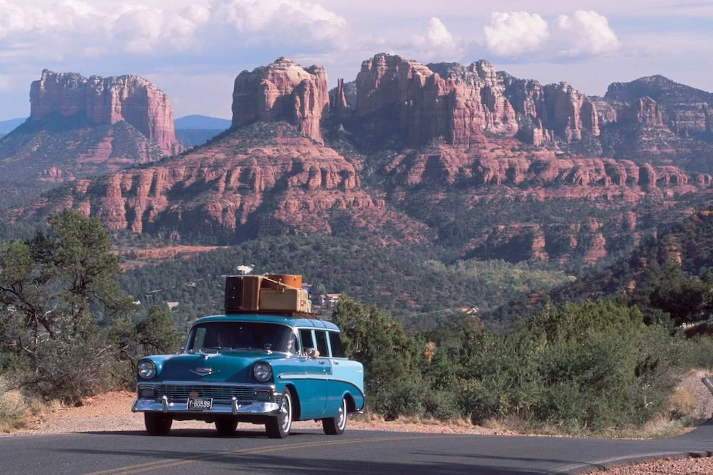
Just a little announcement to make: my boxes have been packed and I’m heading west. The headline isn’t the highway, though. It’s the destination: I’m currently on my way to officially join the HistoricAerials team in Arizona. Let me tell you, I couldn’t be more thrilled! While it’s a big personal change, it also feels like the start of a bigger conversation—with you.
What a Historicist wants (and why I’m here)
If you’ve read my pieces, you know I’m a Historicist at heart. That’s a fancy way of saying I believe the present only makes sense once you trace the path that built it. A Historicist isn’t satisfied with a list of events; we want the connective tissue—the “why” beneath the “what.” We use history to decode patterns, pressure-test memories, and answer practical questions. That’s exactly what historical aerial imagery does at scale: it shows the world as it was, year by year, parcel by parcel, decision by decision.
The sky as a primary source
HistoricAerials draws all kinds of people because aerials are time machines with coordinates. Most of you aren’t browsing for trivia; you’re hunting answers. You’re trying to prove something happened—or didn’t. You’re verifying a date, a use, a boundary. You’re testing a hunch. The photographs don’t bluff. They whisper, then they confirm.
Environmental pros: chasing RECs, not rabbits
If you conduct Phase I Environmental Site Assessments, you live in the land-use timeline. You’re scanning for potential Recognized Environmental Conditions (RECs): the corner filling station that toggled to a repair shop, that diagonal rail spur hinting at bulk storage, that dark rectangle that looks suspiciously like a lagoon, that dry cleaner tucked into a strip center by 1978. You’re piecing together a sequence—on or before, after, continued until. Aerials give you dated, visual evidence you can cite and build into your report narrative.
Legal professionals: evidence that ages well
Attorneys and paralegals use the same images to tell legal stories. Adverse possession and prescriptive easements? Aerials show whether that driveway, fence, or footpath existed continuously—and when it appeared. Boundary and encroachment disputes? You can see structures migrate across lines over time. Eminent domain and valuation cases? Imagery helps establish highest and best use at specific dates. Water and riparian issues? Shorelines, accretion, and erosion are visible, year over year. When memory wobbles, dated frames steady the record.
Archaeologists and CRM: walking with Crawford
Archaeologists—following in the footsteps of O. G. S. Crawford—scan imagery for cropmarks, soil marks, shadow marks, and forgotten field systems. Cultural resource managers cross-check project areas for traces that never made it into surface surveys. Even when LiDAR and drones do the fine work, historic aerials often provide the context that says, “Look here first.”
Developers, planners, and everyone who builds
Land developers use long runs of imagery for due diligence—has the site ever been filled? Was that low spot a pond? Where were the older utilities? Planners track how neighborhoods formed and why traffic chokes where it does. Transportation and utility folks map corridors, legacy easements, and the human consequences of alignment choices. Appraisers and insurers verify improvements, condition, and comparables with something stronger than recollection.
Genealogists, historians, and the delight crowd
Then there’s the joy brigade: family historians locating a grandparent’s farmstead, aviation nerds mapping forgotten airfields, local historians tracing neighborhoods split by freeways. You share finds that make us all grin—a vanished drive-in, a ghost subdivision, a racetrack’s oval still haunting the suburbs like a chalk outline.
Why not just use Google Earth’s historical slider?
Great tool—no shade. But HistoricAerials is built for depth, precision, and comparison. You’ll often get more years for a single site, with scans that go back further in many places. Frames are clearly dated, not just “circa.” You can line up aerials with historic USGS topos and modern imagery, use side-by-side or slider tools to compare change without losing your place, and export imagery with citation-ready metadata. When you’re writing a report, filing a brief, or preparing a board packet, that combination matters.
I want your use case—because that’s the real story
One of my goals going forward is to understand your perspective better. What makes HistoricAerials valuable for you? How has it helped answer a tough question, confirm a hunch, or reveal something long forgotten? I’ll keep writing about history—count on it—but I also want to write about what you care about: the questions you’re asked at work, the puzzles that keep you up, the rabbit holes that unexpectedly pay off.
Hit reply or [send me an email]. Tell me the problem you solved, the claim you proved, the surprise you didn’t see coming. If you’re willing, I’ll feature select stories in future issues so others can borrow your approach (names and details handled with care, of course).
I’m thrilled to be on the ground with the team in Arizona. But the real engine here is this community—people who use the past to act smarter in the present. Let’s build a conversation that’s useful, curious, and a little bit fearless. Your turn.