So you’ve found the perfect waterfront property, you’ve picked out the homesite, and you’re already thinking about the dock you want to build, and all the back-yard barbecues and boat rides you’ll enjoy with your family and friends. Slow down there, captain! Let’s make sure your waterfront dream doesn’t drift into a legal nightmare!

Yes, the stunning views from a cabin on the lake with endless recreation at your fingertips is an enviable lifestyle. Who wouldn’t be tempted by tranquil lakefront evenings or ocean sunsets? But hidden beneath the postcard-perfect scenes is a quirky reality: many waterfront boundaries aren’t set in stone. They’re written in pencil — always shifting, always changing.
A waterfront property is often considered the ultimate real estate asset. But what if that asset could physically shrink year after year? Natural erosion can slowly chip away your land, while severe storms or flash floods could reroute a river channel and leave your ‘waterfront’ home hundreds of yards from the new shoreline, decimating its value overnight. For unique properties like these, your greatest financial risk isn’t market fluctuation — it’s the water itself. Before signing, you must understand how the fluid, unforgiving nature of water can impact the most concrete of investments.
Whether you’re a private individual eyeing a quiet lakeside retreat, a corporation scouting the perfect coastal development site, or a government entity planning critical infrastructure projects, waterfront properties demand a unique brand of due diligence. Unlike typical real estate, land bounded by water comes with distinctive challenges shaped by both natural forces and human activity.
The Shifting Shoreline: Nature’s Constant Redraw
Water is a powerful artist, constantly redrawing property lines. These changes can be subtle, happening over decades, or shockingly sudden.
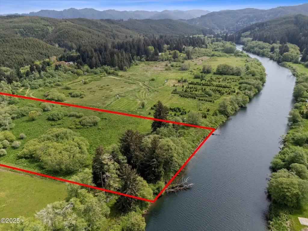
- Rivers and Streams (Riparian Boundaries): Properties along meandering rivers are in a constant state of flux. The river silently deposits sediment on one bank (accretion) while eroding the opposite shore. This gentle, natural accumulation of soil typically benefits the adjoining landowner.
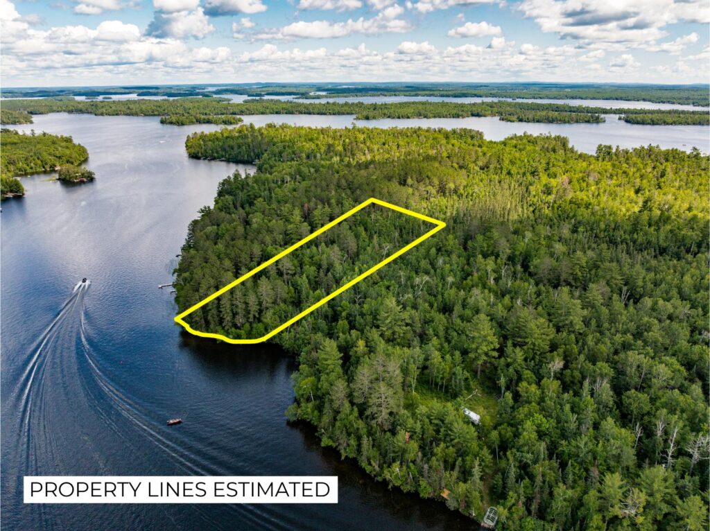
- Lakes and Ponds (Littoral Boundaries): Changes here tend to be slower but are equally significant. Prolonged drought can gradually reveal new expanses of land (reliction), usually belonging to the adjacent property owner. Conversely, subtle erosion can reduce existing land.
- Coasts and Bayfronts: These areas face the most dramatic shifts. Powerful tides, storm surges, and even rising sea levels can rapidly redefine property lines, sometimes overnight.
But what happens when nature’s redraw is anything but gentle? Avulsion is the legal term for a sudden and dramatic shift in land, often due to floods or storms. Here’s the kicker: legal property lines often remain fixed even after these sudden, violent events, leading to incredibly complicated scenarios for property owners.
Human Impact: When We Lend Water a Hand
It’s not just Mother Nature at play. Our own interventions can significantly reshape waterfront boundaries, introducing unforeseen risks and complex regulatory challenges. Think about:
- Sea walls, dams, and levees: These structures alter natural water flows. For example, an upstream dam might change a river’s flow, causing land accretion downstream that benefits a property owner.
- Drainage canals and reinforced shorelines: These can also subtly (or not so subtly) shift where the water meets the land.
- Artificial Fill: If a property owner intentionally deposits soil or debris to extend their shoreline (sometimes called the ‘landfill rule’), they typically do not gain ownership of this new land. In fact, it’s often illegal without proper permits from regulatory bodies like the Army Corps of Engineers.
Navigable or Not? The Crucial Legal Distinction
Beyond the type of water body, one of the most fundamental yet often overlooked factors is its legal classification: navigable or non-navigable. This single distinction dramatically impacts a landowner’s rights and is a crucial first question for any prospective buyer.
- Navigable Waters: Generally, if a body of water can be used for commercial transportation, the state typically owns the submerged land beneath it, from the ordinary high-water mark downwards. This means a private owner’s property line stops at that high-water mark.
- Non-Navigable Waters: For these streams or lakes, ownership rules can differ. Often, private landowners can own the submerged land to the center ‘thread’ of the stream or the middle of the lake bed.
This distinction is huge for things like dock construction, dredging, and even mineral rights beneath the water!
The Public Trust Doctrine: What You Can’t Fence Off
Flowing directly from the concept of navigability is the Public Trust Doctrine. This ancient legal principle holds that the state preserves navigable waters and the land beneath them for the use and benefit of the public.
What does this mean for you? Even if you own property right up to the water’s edge, you don’t have the right to restrict the public from using the water for navigation, fishing, or recreation. This doctrine is why you can’t build a fence into a public bay or string a cable across a navigable river. Understanding this helps you set realistic expectations about your level of exclusive control over the adjacent water.
Real-World Consequences: When Water Gets Serious
The theoretical risks of shifting boundaries become very real for many property owners.
The Brazos River’s Simonton Cutoff, Texas:
This is a vivid reminder that when rivers redraw themselves, they don’t ask for permission. An aggressive bend in the Brazos River — known as the Simonton Cutoff — is threatening to short-circuit the Brazos by carving a new, straighter path. If it succeeds, the river could abandon six miles of its current channel, increasing flow velocity, scouring away sediment, and accelerating erosion both upstream and down. Homes have already been lost, and millions in public funds are now being funneled into emergency stabilization efforts.
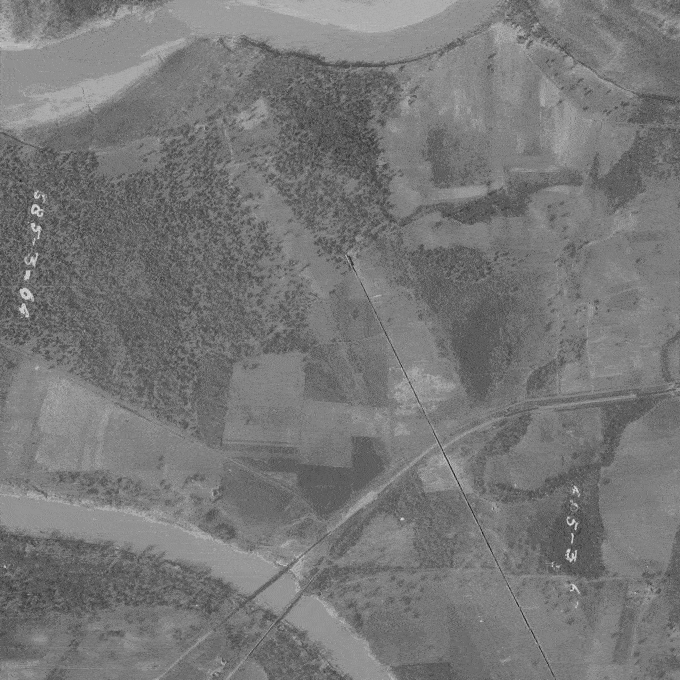
Coastal Erosion on Lake Michigan, St. Joseph, Michigan:
It’s not just rivers. Along the shores of the Great Lakes, like Lake Michigan near St. Joseph, homeowners are battling relentless coastal erosion. Rising lake levels combined with powerful storms are eating away at bluffs and shorelines, bringing homes perilously close to the edge. Properties that once had ample backyard space now find their foundations threatened, with some structures needing to be moved or demolished. This ongoing struggle highlights how even large, seemingly stable bodies of water can dramatically impact property values and safety.
Drag the slider on the image below to compare the Lake Michigan shoreline near St. Joseph, Michigan in 1955 and 2022. Decades of erosion have carved away large sections of bluff and beach—except in one area near the bottom left, where a multi-tiered steel seawall has held back erosion. HistoricAerials.com.
Your Shield and Armor: Due Diligence and Protection
So, how do you protect your waterfront investment from water’s pencil and eraser?
- Scrutinize Deed Descriptions and Surveys: The specific language in your deed is paramount. Pay close attention to the exact wording:
- Does the boundary extend ‘to the high-water mark’?
- ‘To the water’s edge’?
- ‘To the thread [centerline] of the stream’? Each phrase carries distinct legal weight defining your ownership. Even slight discrepancies or outdated information can lead to costly disputes. Regularly updated surveys that physically locate the current water line are essential, capturing even subtle shifts.
- Leverage Historical Research: This is where tools like HistoricAerials.com provide a unique and powerful advantage. You can:
- Visually track decades of shoreline and river changes: Observe historical aerial images to assess long-term erosion trends.
- Identify past flooding events: See how water bodies have behaved in the past, beyond what current FEMA flood maps might show.
- Verify existing structures: Check the presence and legality of existing docks, piers, or seawalls over time. It’s an invaluable tool that brings critical historical context to property boundaries, going far beyond standard records.
- Bolster Your Title Insurance:
While updated surveys and historical research are your shield, a robust title insurance policy is your armor. However, be aware that standard policies often contain an ‘exception’ for changes to boundaries caused by water movement. This means your standard policy may not cover losses if your property shrinks due to erosion. For higher protection, inquire about specific endorsements to your policy. While full coverage against erosion or avulsion is rare and costly, endorsements that insure the location of existing improvements or affirm access to the water can add a critical layer of security. - Consider Preventative Measures:
Don’t wait until it’s too late! Property owners commonly use engineered solutions to mitigate erosion:
- Riprap: Layering large stones to stabilize shores.
- Retaining walls: Structural barriers to hold back soil.
- Vegetation planting: Using deep-rooted plants to strengthen banks.
- Artificial reefs or breakwaters: Structures placed offshore to reduce wave energy. Early adoption of such methods can significantly reduce long-term risks and costs. Unfortunately, some property owners recognize these challenges too late, leading to fewer, more complicated, and often prohibitively expensive options.
The Bottom Line
Owning waterfront property remains a highly rewarding pursuit, but informed, proactive planning is essential. By recognizing and embracing the fluid nature of waterfront boundaries, conducting thorough historical research (especially with tools like HistoricAerials.com), and actively engaging with experienced professionals, you can confidently secure your properties. This ensures they remain a lasting source of joy, investment stability, and peace of mind.